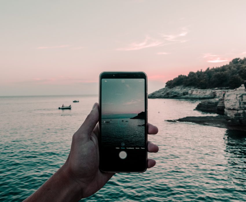
There are lots of boating apps out there, some useful, while some not so much. Over the years I’ve collected a number of apps I love to have on my iPhone for our sailing trips. I love apps that are helpful on the water, but also helpful for my hiking adventures in those unique anchorages we explore.
Each to their own for what you like, but these are ones that I’ve found useful over the years on our various sailing trips. Here are my top 10 boating apps. Happy boating adventures!
1. CBP ROAM
U.S. Customs and Border Protection’s (CBP) Reporting Offsite Arrival – Mobile (ROAM) app. This app lets you report your arrival without having to physically go to a port! There are some restrictions for when you can’t use this app, so check out their website for details, otherwise it’s a fantastic way to cruise to the U.S.

2. Topo Maps Canada
Topo Maps Canada offers simple topographic maps of Canada. You’re able to download the areas of the map you’d like details on, offering greats maps of hiking trails throughout Canada. If you’re exploring a new island while out on your boat, you can check the maps to see if there are any trails to explore.
3. FATMAP
It’s one thing to look at a map and see the elevation lines to get a sense of the landscape, it’s a whole different level to have FATMAP show you a 3D illustration of where you want to hike. FATMAP shows you 3D maps of trails, really giving you a better idea of the different hikes you can choose from.
4. PredictWind
PredictWind is a great app for marine forecasts. It’s a graphical illustration for the area you’re looking at, letting you easily see the wind over a time period.

5. Navionics
Navionics is a great app, meaning you no longer have to be at the helm just to know your course. Hanging out on the bow underway, or hanging out down below in the V-berth, the boat position and course is just at your fingertips! Now if you’re having a nap down below, you don’t need to get up to ask the person at the helm your eta to the anchorage.
This app is also extremely handy for your dinghy adventures, or planning your next trip from land looking at the upcoming tides. Whether your just going to shore and want to avoid a rock, or going out on a dinghy adventure to dig for clams or pick oysters, with Navionics the charts are at your fingertips regardless of where you are.
6. Ship Finder
Whether you’re looking to find where your friends boat is, or curious what commercial ship just passed by, Ship Finder is a great app to look up marine traffic. When you look at a busy port, you also get a better appreciation for the amount of boats that are out on the water. There is a paid version, but the free version works just fine if you don’t want to invest in it.
7. Windy
Windy is another great weather forecast app. It’s a great visual of the current wind and the forecast over a period of time.

8. First Aid – Canadian Red Cross
The Canadian Red Cross has a great app with a wealth of information for basic first aid, and for medical emergencies that may arise. It’s not a bad little app to have handy. It’s something you probably don’t need most of the time, but in those times of injuries and emergencies it can help.
9. FishingBC
This app was created by the Sport Fishing Institute of BC in partnership with Fisheries and Oceans Canada. Closures can happen quickly, so it’s always important to check the status of an area before you decide to go out and dig for clams etc for dinner. This app tries to make it a little easier to find the information while you’re out on the water.

10. Cairn
Cairn is a great app for hiking safety. The app allows realtime tracking during your hike, allows you to log your hiking plan, and it crowd sources information to show what parts of a trail have cell reception and which parts don’t. While many boater hikes may not be listed on the site yet, boaters have the opportunity to start using it to log hikes and provide information for the next boater.
So now during our summer cruises, if your friends on the next boat over don’t want to join you a hike, you can use the app so they can track your progress so they can have happy hour appetizers ready for your return! The added benefit of showing which parts of a trail have cell coverage, letting you know where on the trail you cell coverage. This can be super handy should your anchorage not have cell coverage!

